


Live Earth Map: Street View 3D
4.11.53K Reviews
App Specs
- Version
- 2.12
- Updated On
- License
- Free
- Downloads
- 10,000,000+
- Developer
- Droid-Developer
- Categories
- Travel & Local
- Platform
- Android, iOS
Screenshots
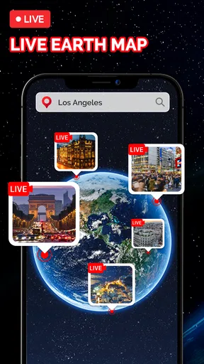
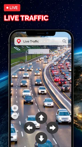
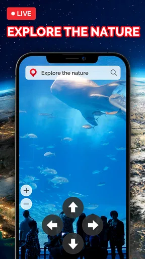
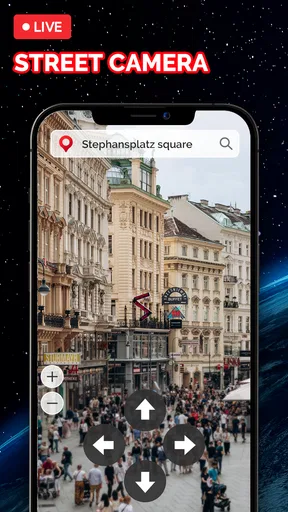
 Analysis by AppCompare
If I were choosing a map for a specific journey, I’d first ask what I need most: a dependable route, a quick look at a destination, or the pleasure of exploring somewhere unfamiliar. Live Earth Map: Street View 3D is most appealing for that last mix of curiosity and practical planning. I’d use it to get a feel for a place before leaving home, then switch to a conventional navigation app when turn-by-turn directions matter most.
What to expect when opening the map
This is a free Travel & Local app from Droid-Developer, and its basic appeal is easy to understand: it brings map exploration, satellite imagery and street-level views together. It has an average rating of 4.1 from around 64,000 ratings, with over 10 million installs. That level of reach suggests many people find the idea useful, though popularity alone can’t tell you whether a particular location will have the view you want.
Before relying on a street-level image, I’d check the exact area rather than assume every road is covered equally. A useful workflow is to find the destination from above, zoom in gradually, and then see whether a street view is available. That sequence helps me orient myself before looking for a particular entrance, nearby landmark or stretch of road. If the imagery doesn’t cover the spot, the map can still help with broad orientation, but I’d switch to another source for a closer visual check.
Speed expectations and heavier sessions
Map apps can feel quick at first and then slow down when you repeatedly zoom, change views or explore a large area. I’d treat this one as an exploratory tool rather than expect every transition to behave like a lightweight static map. Satellite and 3D imagery are visually demanding compared with a simple road map, so a pause while details load is a reasonable possibility, especially when moving around quickly or using a weaker connection. I wouldn’t judge the whole app by one slow view: try a smaller area and allow the image to settle before switching again.
For a focused task, such as checking the surroundings of a hotel, I’d search and inspect only the blocks I need instead of roaming across a city. That keeps the session purposeful and makes it easier to compare landmarks. For a longer virtual wander, I’d expect more repeated loading and battery use than with a plain map, simply because image-heavy exploration asks more of a device. I’d avoid leaving the screen active for a long sightseeing session if battery life is already tight.
First Impressions: Navigating the World
So, I dove into the Live Earth Map: Street View 3D app, and right off the bat, I was impressed by its intuitive design. The interface is clean and user-friendly, making it super easy to navigate. You don’t have to be a tech wizard to figure this one out, which I appreciate because sometimes I just want to get to the fun part without a tutorial marathon.
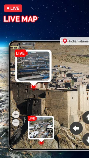
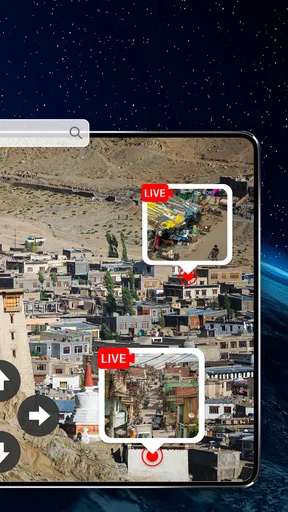
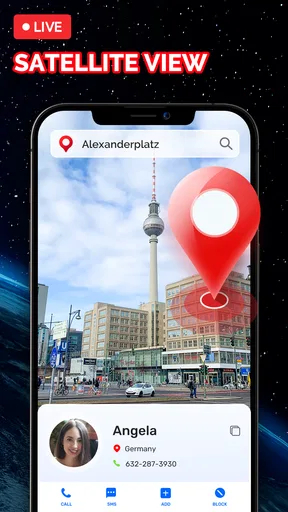
The app offers a comprehensive view of the world with its satellite imagery and street view features. It’s like having the globe at your fingertips. You can zoom in on any location, switch between 2D and 3D views, and even get a street-level perspective. The transition between views is smooth, ensuring a seamless experience.
Worth Reading Before You Choose

Flipboard Shows What News Apps Must Do Beyond the Feed

Switching to Android Auto Means Rethinking Your Driving Routine

Google Calendar Makes a Crowded Week Easier to Manage

Ludo King Makes the Most of the Minutes Between Plans

Baby Panda World Brings Quick Play to Modern Phones, but Its Game Library Feels Busy

ESPN’s Live Game View Makes Following Close Games Easier
Features That Stand Out
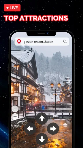
One of my favorite features is the ability to explore landmarks in 3D. Ever wanted to stroll past the Eiffel Tower or wander around the Statue of Liberty without hopping on a plane? This app makes it possible. The 3D rendering is surprisingly detailed, making these iconic sites come alive on your screen.
Another cool feature is the GPS navigation. It’s not just about virtual travel; you can use it for real-world guidance too. This dual functionality is a game-changer if you ask me. The app integrates with your device’s location services to provide accurate directions, which is perfect for planning your next trip or just exploring your local area.
Getting Lost in the Details
Now, let’s talk about the street view. It’s like stepping into a new city every time you open the app. The imagery is crisp and clear, providing a realistic virtual travel experience. I spent hours just wandering through different cities, discovering hidden gems and even checking out restaurants and cafes I might want to visit someday.
The app also includes a weather layer, which adds another dimension to your exploration. You can see real-time weather conditions in any location, which is helpful for planning trips or just satisfying your curiosity about how sunny it is in Rio de Janeiro right now.
Putting the views to practical use
For an everyday example, imagine I’m meeting a friend at a café in an unfamiliar neighborhood. I can use the map view to locate the area, inspect the streets nearby, and look for a recognizable building or intersection. That visual preview can make the final walk feel less uncertain. I’d still confirm the route with a dedicated navigation option before setting off, particularly if timing or a complicated set of turns matters.
It can also help when deciding whether a planned stop is worth building into a trip. I might look at the approach to a museum or a landmark from above, then use street-level imagery to get a sense of the surrounding blocks. The trade-off is that a view of a place is not the same as current ground truth: streets can change, and imagery may not represent what’s happening today. I use it to prepare, not to replace checking current conditions on arrival.
Where it fits among map alternatives
Compared with a standard road map, this app’s appeal is the visual side: satellite, 3D and street-level exploration make it easier to picture a location before visiting. A conventional navigation app is the better choice when my main concern is following a route efficiently, while a dedicated travel guide may offer more curated background for planning what to see. I’d keep this app for visual reconnaissance and casual discovery, rather than expect it to be the only tool I need for every trip.
That distinction matters for travelers who need reliable step-by-step guidance, people navigating with limited connectivity, or anyone who depends on precise local details. I’d compare the route and destination in a navigation app before leaving, then use this one to get a better visual sense of the area. For armchair exploration, landmark browsing, or a quick preview of a neighborhood, its combination of perspectives is more compelling than a plain map.
Why You Should Give It a Try
The Live Earth Map: Street View 3D app is more than just a map. It’s a travel companion, a tour guide, and a navigator all rolled into one. Whether you’re planning a trip, exploring the world from home, or just curious about a place, this app has something to offer.
Plus, it’s a fantastic tool for education. Imagine using it in a classroom to give students a visual tour of historical sites or geographical features. It’s engaging and interactive, which beats a textbook any day in my opinion.
Reliability, device fit and recovery
If a view stalls or fails to appear, I’d first give it a moment, then return to a broader map view and zoom back in more slowly. That’s a sensible recovery approach for any image-heavy map, and it avoids mistaking a temporary loading delay for a permanent problem. If the same spot remains unavailable, I’d use another map source for that specific check instead of repeatedly refreshing and losing time.
The app is listed for Android devices running version 6.0 or later, and the current version is 2.12. It’s rated for Everyone, though that broad age label doesn’t mean every child will find map imagery equally engaging without an adult guiding the exploration. The app is free to install, with in-app purchases ranging from $5.99 to $39.99 per item, so I’d check any purchase screen carefully before confirming anything. Its release date was May 21, 2021, and the developer is Droid-Developer.
I’d recommend it to curious travelers, students exploring geography, and anyone who likes to preview a destination visually. I’d skip it as my sole navigation tool if I needed the most direct, dependable route guidance, or if my device and connection struggle with detailed imagery. The key question is whether visual exploration is worth the extra loading and screen time for your needs; if it is, this app has a clear role alongside—not necessarily instead of—the usual maps.
Final Thoughts: A Virtual Explorer’s Dream
In an era where travel can be limited or just downright expensive, having an app like Live Earth Map: Street View 3D is a blessing. It opens up the world in a way that’s accessible and enjoyable. Whether you’re an armchair traveler or a globetrotter, this app is a must-have for your digital toolkit.
So go ahead, download the app and start your virtual adventures. Who knows where your curiosity might take you next?
Pros
- Provides real-time traffic updates.
- High-quality satellite imagery.
- User-friendly interface design.
- Offers 3D street-level views.
- Allows offline map download.
Cons
- Requires a stable internet connection.
- Consumes significant data usage.
- Limited indoor mapping features.
- Occasional location inaccuracies.
- May drain battery quickly.
FAQs for Live Earth Map: Street View 3D
What features does Live Earth Map: Street View 3D offer?
Live Earth Map: Street View 3D provides users with real-time satellite imagery, 3D street views, and an interactive map experience. You can explore global locations, view live traffic updates, and navigate through streets with a 360-degree perspective. The app also offers a search function to find specific places and landmarks easily.
Is Live Earth Map: Street View 3D free to use?
The app is free to download and offers basic features at no cost. However, there are in-app purchases and subscriptions available that unlock additional functionalities such as ad-free browsing, enhanced resolution images, and more detailed map layers. It's advisable to review the pricing structure before downloading.
How accurate is the street view and map data in the app?
Live Earth Map: Street View 3D utilizes data from reliable satellite sources and regularly updated mapping services to provide accurate and up-to-date information. While generally precise, users should be aware that some remote areas may have less frequent updates, leading to potential discrepancies in those regions.
Can I use Live Earth Map: Street View 3D offline?
The app primarily relies on an internet connection to provide real-time data and images. However, it does offer a limited offline mode where users can download maps of certain areas for later use without connectivity. This feature is particularly useful for travelers or in areas with unstable internet access.
Is Live Earth Map: Street View 3D compatible with all devices?
The app is compatible with most Android and iOS devices. It requires a relatively recent operating system version to function optimally, so users should check their device's compatibility before downloading. Some features, particularly those involving 3D rendering, may not perform as well on older devices.


